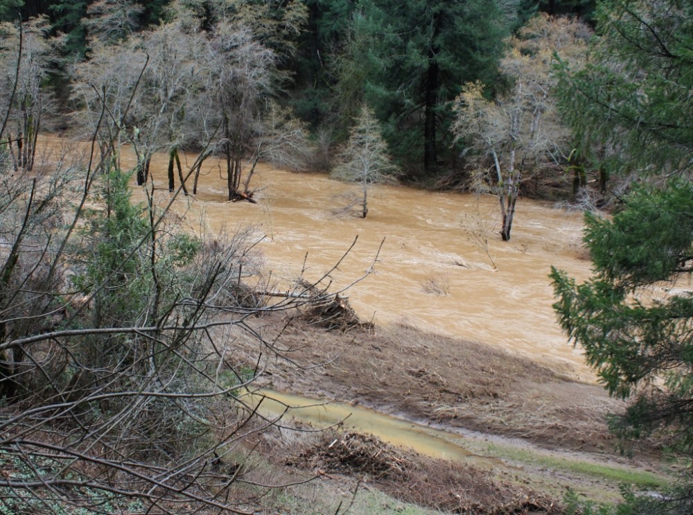
The corner hole downstream from camp.

Upstream from camp but before the corner. Notice the road into the unofficial camp area at the bottom of the picture.
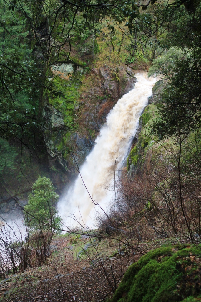
Potem Falls
Road damage above Potem Creek.

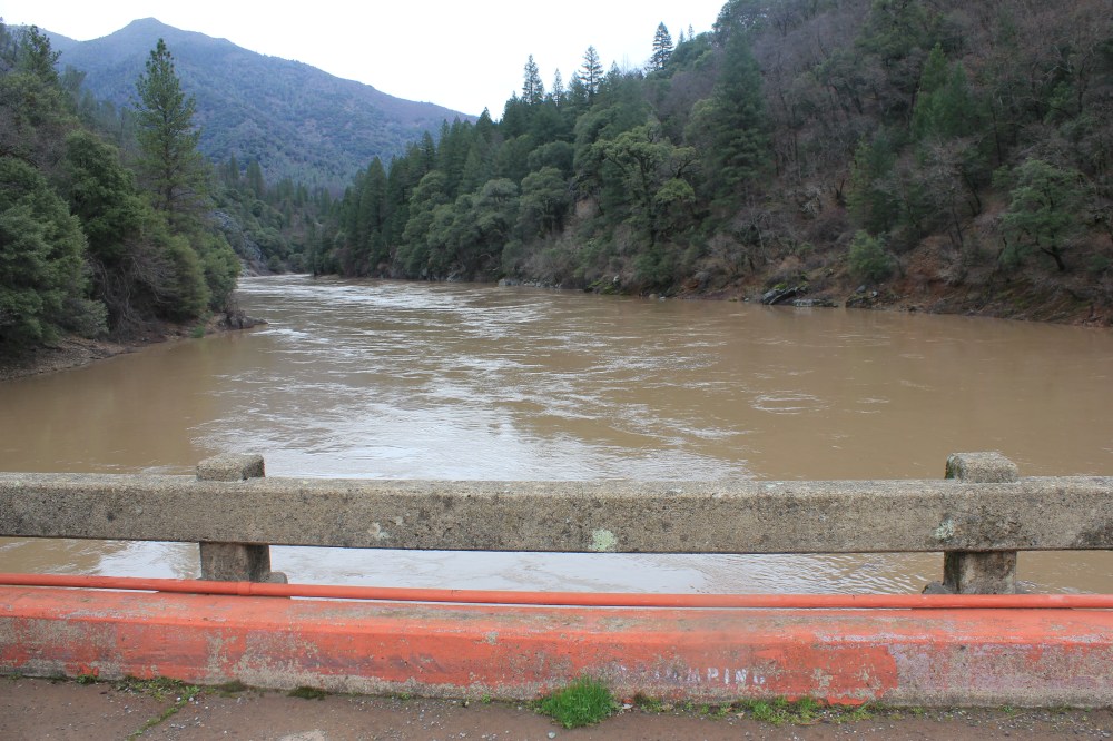
Squaw Creek along one of the paved sections.

The corner hole downstream from camp.
Upstream from camp but before the corner. Notice the road into the unofficial camp area at the bottom of the picture.
Potem Falls
Road damage above Potem Creek.
Squaw Creek along one of the paved sections.
Squaw Creek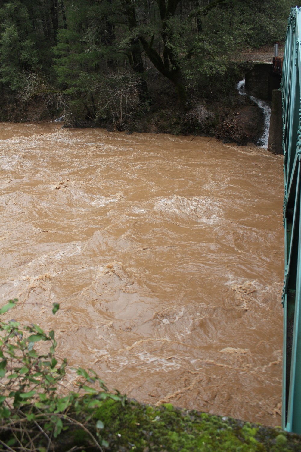 The Pit River
 The McCloud River
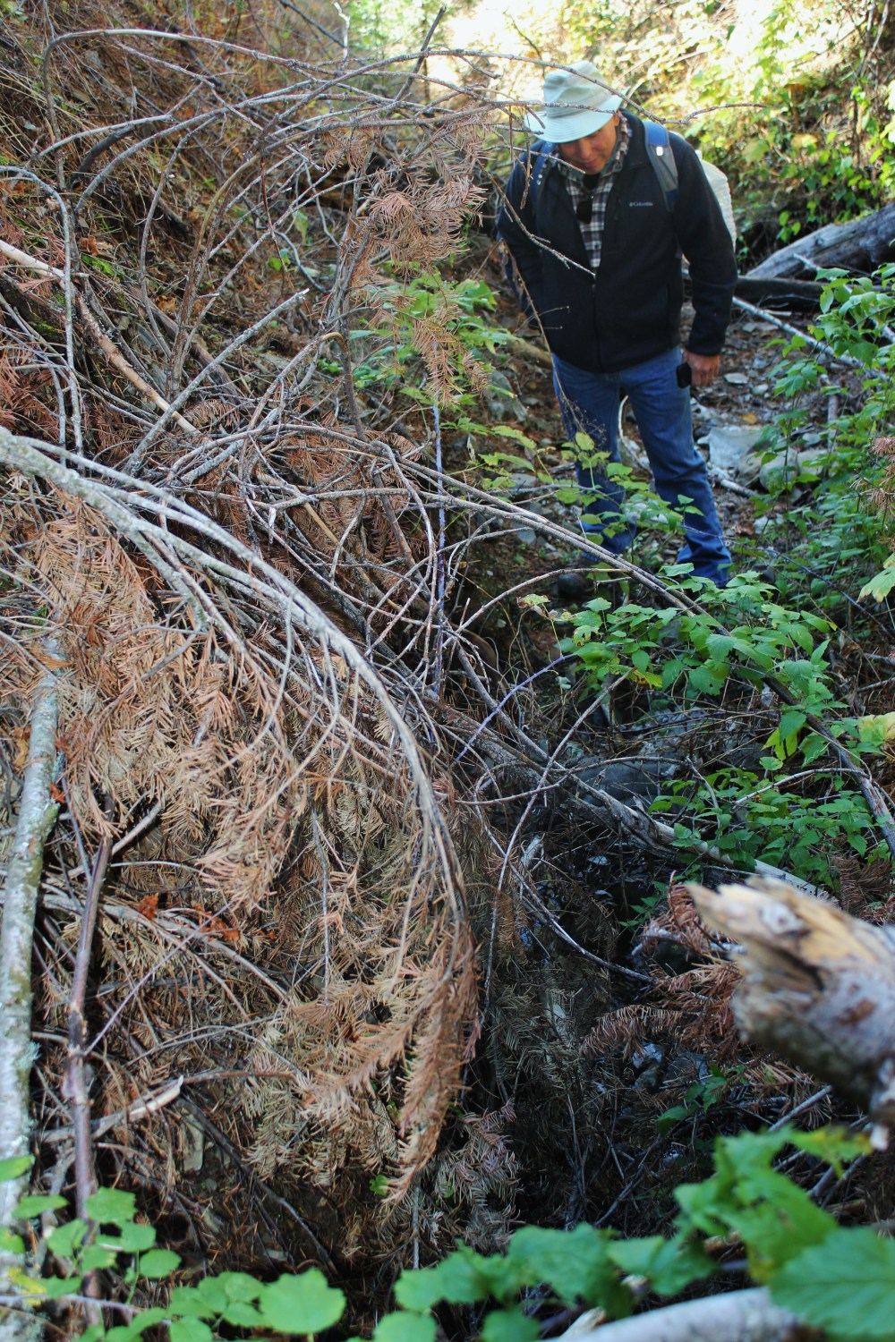
Bruce and I went to check out conditions at Fish Camp on February 9th and 10th and found the following conditions. On the 9th we went in from Fenders Ferry Road. There were at least five places like the photos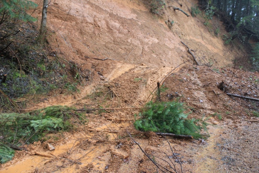 below where the road washed out to some degree. Then we had to cross a muddy washout.

Then we came to slide that totally wiped out the road.

On the 10th we went around to the Pt McCloud access. The road is in pretty good shape until you get to the road fork that goes to Salt Creek. The only really bad spot is about 200 yards before the Squaw Creek bridge just above camp.

Camp held up pretty well. Big water but about 8′ lower than peak flow.

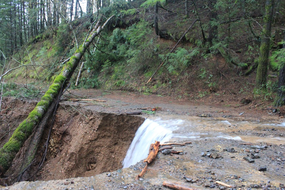
We tried to go to the other side of the slide but got stopped by this about 3/4 mile from camp by this washout.

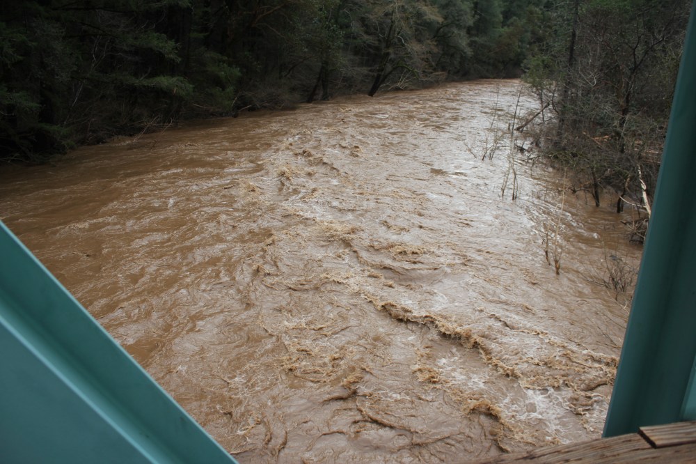
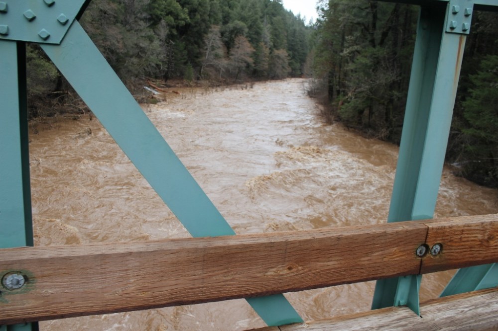
These are from the Squaw Creek Bridge upstream from camp.
After years of discussing, wondering and exploring, Bruce and I finally found the Headwaters of Squaw Creek.
It may not The Headwaters look impressive but the water was as sweet as honey!
